La Flandonnenque

Saint-Germain-de-Calberte
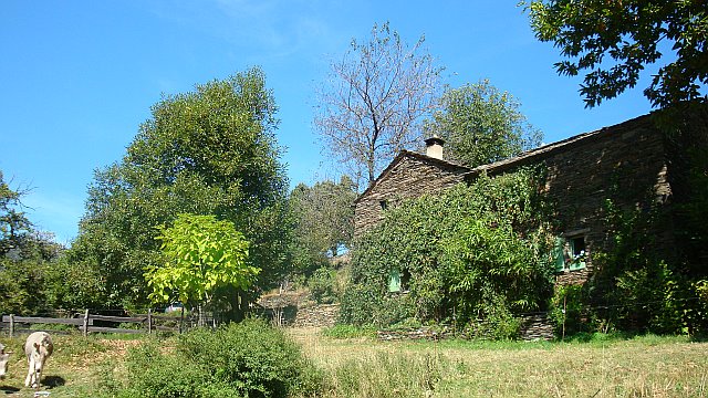

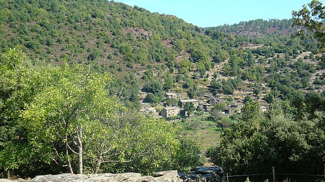
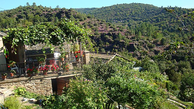
![]() Ce qu'on appelle la ''Flandonenque'' recouvre une vallée qui abrite de nombreux hameaux au nord du village de St. Germain de Calberte.
Ce qu'on appelle la ''Flandonenque'' recouvre une vallée qui abrite de nombreux hameaux au nord du village de St. Germain de Calberte.
Le sentier en boucle vous fera découvrir la partie la plus élevée de cette vallée, située en zone centrale du Parc National des Cévennes.
3 h de marche en passant par Le Cros- Flandre - Nozières - La Fare - Vernet - Le Cros
 Campsites
 Hotel-Restaurants
 Hiker's accommodations
 Bed & Breakfast
 Selfcatering cottages
 Group gîtes
 Quirky accommodations
 Holiday villages